Land-use
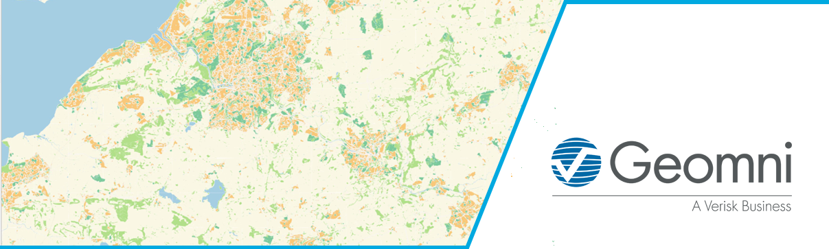
Recently Google have updated their map styles to highlight land-use. When we look at a topographic map, we often infer land-use. So, when there are many buildings in an area, we make assumptions about that area, and if there is no detail mapped, we might assume the land is agricultural or open.
What if we need to analyse an area, or understand or compare the characteristics of different areas? That can be difficult without land-use data. Our UKLand product is a national database of land-use which classifies land into more than 20 classes. It has been used by planners, consultants, utilities and government to plan and assess the characteristics of areas and make informed decisions.
The team of experts at Geomni UK will be running a webinar focused on land-use information which you can register for here.
Please visit the website for more details.
|