Geomni UK Newsletter
August 2020

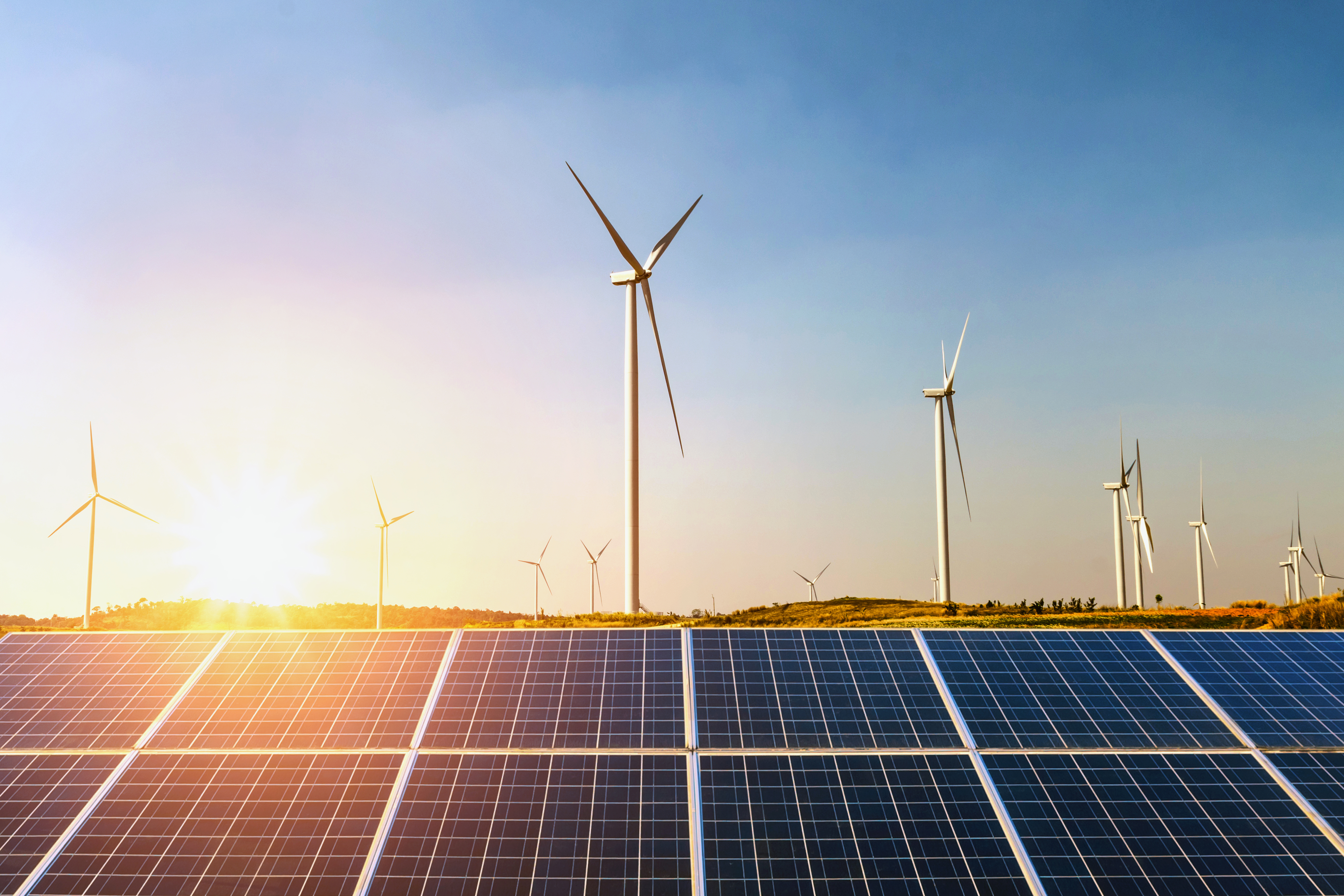
We often have a break in our newsletters over the summer, but with the speed of change now, we were keen to keep you up to date with developments at Geomni. Although many of us may not have traveled as much as usual, this summer has been memorable for the weather we have encountered at home, let alone anything else. We have recently experienced several days of extreme heat and humidity followed by spectacular storms and now strong winds. Geomni data is used by colleagues in Verisk to help deliver solutions to the insurance industry, both underwriting and claims that may arise as a result of such turbulent weather.

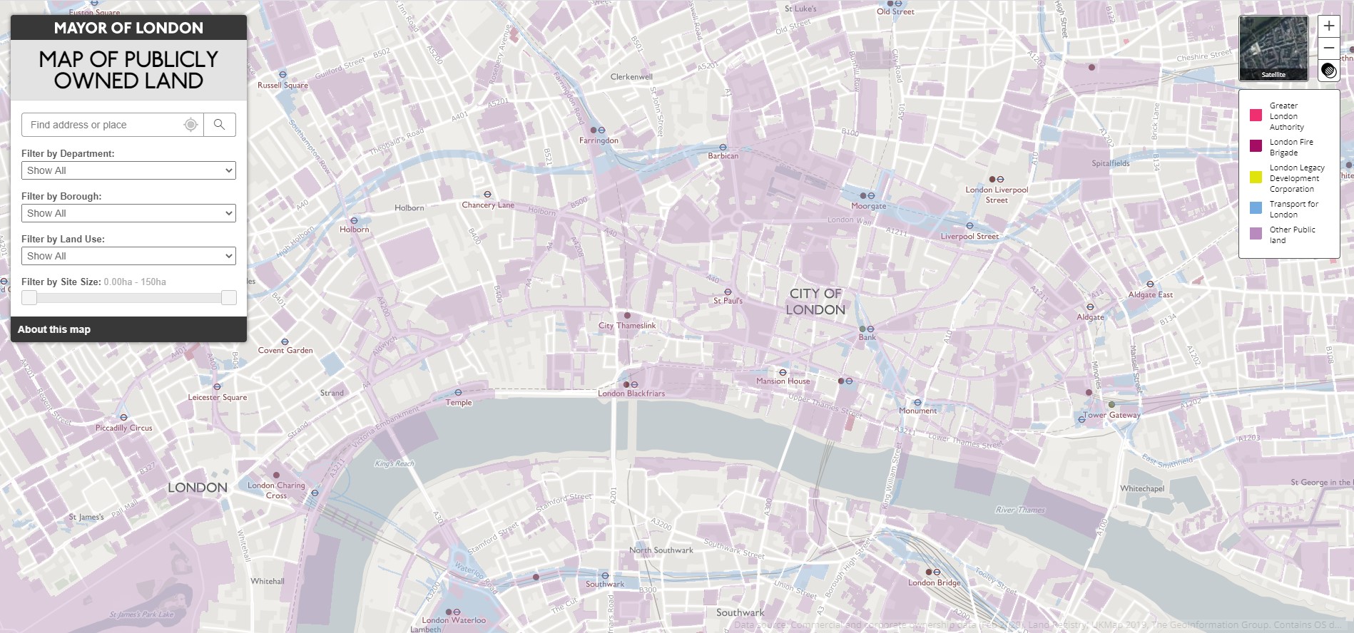
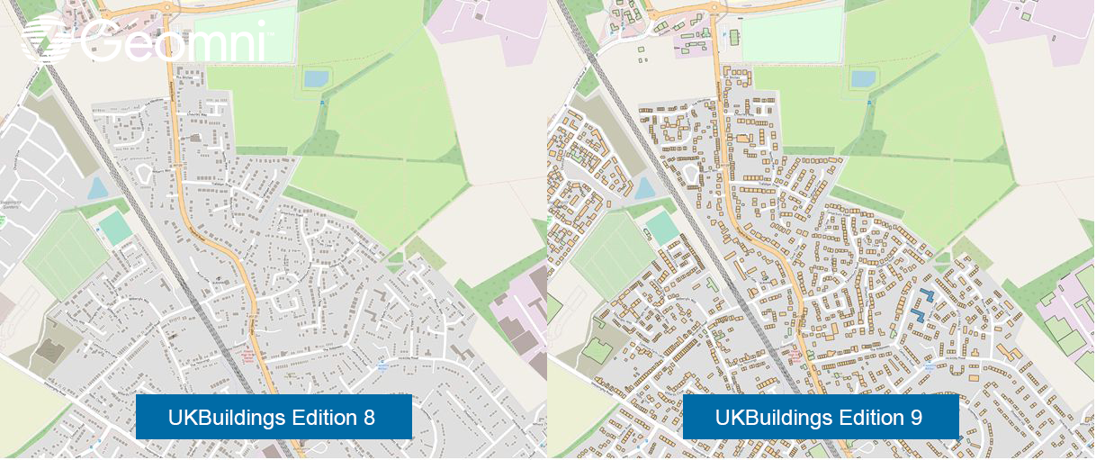
The Geomni team have been busy working on our September releases which we will cover in detail next month, but this newsletter includes a preview of what is coming. We are always pleased to feature customer applications using our data and you can find more about a new service in London identifying publicly owned land below.

Keep safe,
Tom
Mayor of London – Map of Publicly owned Land.

The Mayor of London has recently provided a new mapping service showing extents of publicly owned land in Greater London. The map cross-references public land parcel ownership data from Land Registry with the land-use from our UKMap database. This infers the usage with maximum coverage in each parcel. Users can display and filter the data by owner, borough or land-use. As the image above shows, the Government and London boroughs own a significant amount of land in London (coloured areas on the map).

For more information please contact us.
September product releases

We are making final preparations for our regular September product releases which will include some very significant enhancements. Our next newsletter will provide full details but look out for the following major highlights

UKBuildings Edition 9
  • National classification coverage (see example image above)
  • Simpler more accessible data
  • OS Open identifier integration
  • Improved building footprints

 UKMap Edition 25
  • Extended coverage
  • OS Open identifier integration        
Geomni UK data made freely available for the academic community

Geomni UK are pleased to announce that, after a successful pilot project, EDINA have added our UKMap, UKBuildings and UKLand databases to their Digimap portal.

‘Geomni Digimap’ is free at the point of use for staff and students at subscribing higher and further education institutions and research councils.

Users will be able to create, view and annotate Geomni data online and/or download the data for further manipulation within GIS or CAD packages. For a summary of what's available, EDINA have also published a YouTube video, which you can watch here.

For more information please contact us.
Other News around Verisk – Verisk Maplecroft reports suggest major emitters will prioritise economic recovery over climate action

Verisk Maplecroft help businesses identify, map and manage the exposure of their operations, supply chains and investments to the full spectrum of risks from political instability and climate change to resource nationalism, labour rights and security issues.

They publish regular reports highlighting current issues which are well worth a read. One of their latest looks at how the major emitting countries commitment to reduce their emissions is being impacted by the global pandemic and the biggest recession in recent history.